

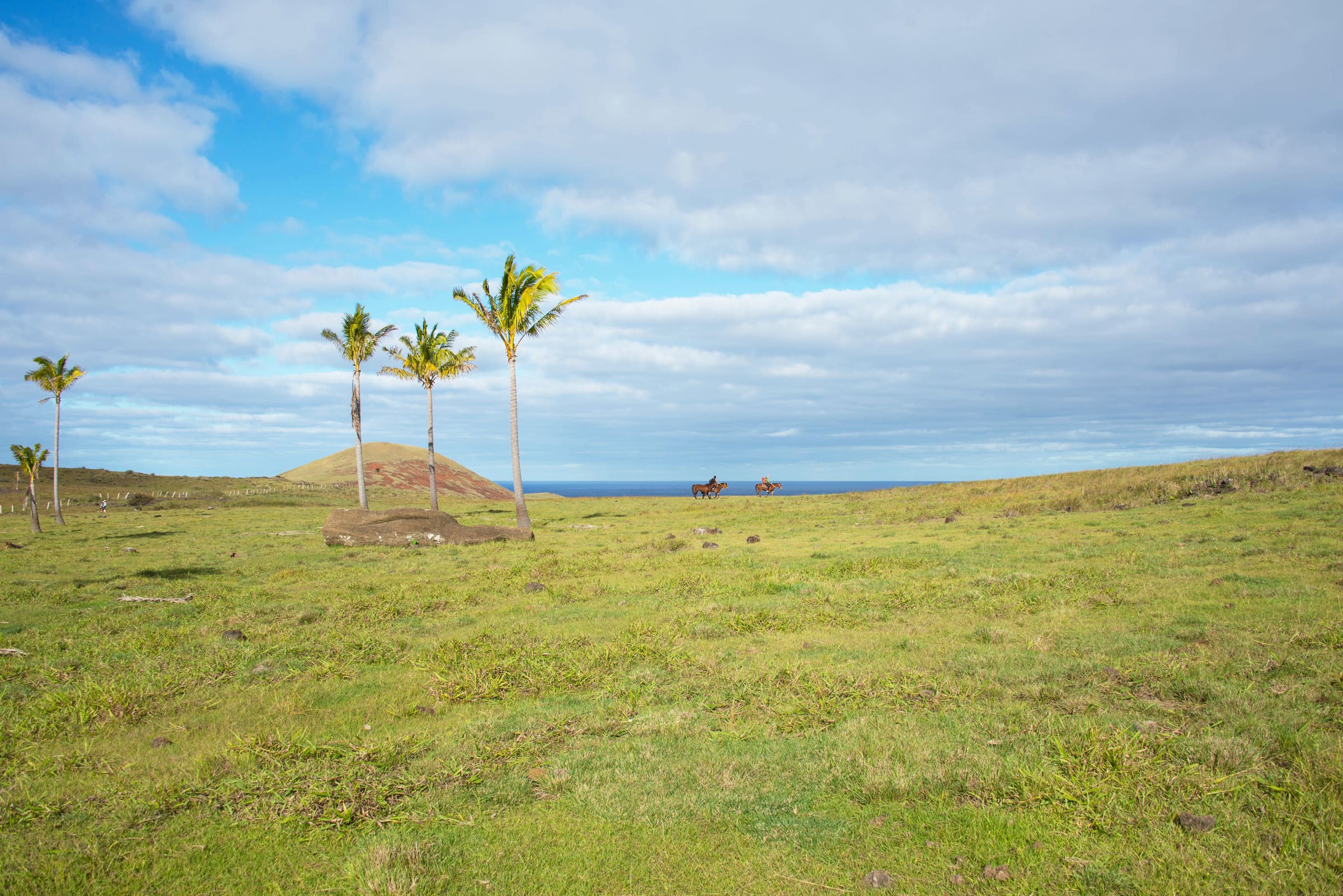
A single-island overview: volcanic cones, Hanga Roa, and the main archaeological zones — most fall inside Rapa Nui National Park (Ma'u Henua). Pair with our Places to visit guides for context.
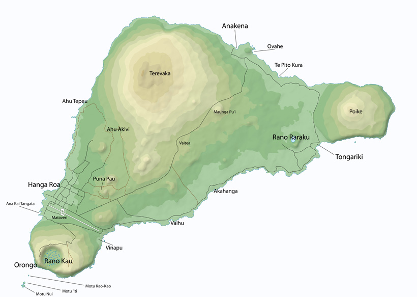
Easter Island is small — only 24 km × 12 km. Its triangular shape comes from three volcanoes: Terevaka, Poike, and Rano Kau. Hanga Roa, the only town, sits on the south-west coast.
A single-island overview: volcanic cones, Hanga Roa, and the main archaeological zones — most fall inside Rapa Nui National Park (Ma'u Henua). Pair with our Places to visit guides for context.